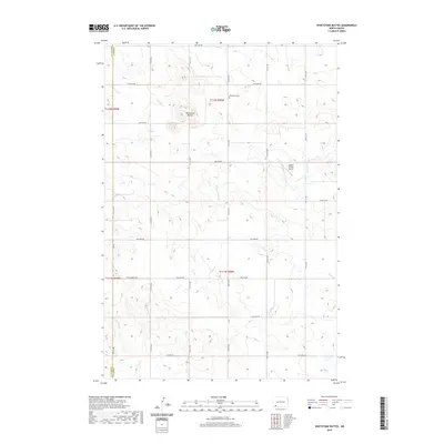
2020 Map of Whetstone Buttes
USGS Topo · Published 2020About this map
Whetstone Buttes dominate the high ground of this western North Dakota landscape, situated along the border of Bowman and Adams Counties. The terrain is defined by a grid of rural roads and the drainage patterns of S Cedar Creek and Russian Slough. While the area is largely characterized by open space, evidence of local infrastructure and community history is visible at the Whetstone Cemetery. The inclusion of the Hagen Private Airport and a network of section roads like 18th Ave NW and 15th St NW shows the modern organization of this agricultural and ranching territory. Multiple creek systems, including Duck Creek, weave through the townships, reflecting the essential water sources that have shaped land use in this part of the Great Plains.
Find a feature on this map
27 named features on this map. Tap any name to fly to it.
Don’t see what you’re looking for? This feature index may not catch every label — zoom into the map to look around manually.
Map Details
Editions of this 2020 Whetstone Buttes Map
This is the sole edition of this map. No revisions or reprints were ever made.
Other maps of this area

1953 · Dickinson
USGS Topo · 1:250,000

1957 · Dickinson
USGS Topo · 1:250,000

1969 · Gascoyne
USGS Topo · 1:24,000

1969 · Reeder
USGS Topo · 1:24,000

1969 · Scranton NE
USGS Topo · 1:24,000

1973 · Warnke Hill
USGS Topo · 1:24,000

1973 · Cedar Lake
USGS Topo · 1:24,000

1973 · Enterprise School
USGS Topo · 1:24,000

1980 · Mott
USGS Topo · 1:100,000

1981 · Bowman
USGS Topo · 1:100,000