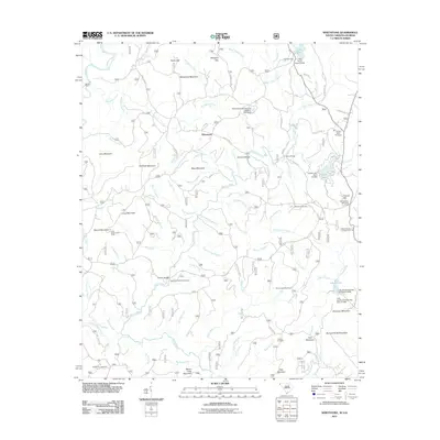
2011 Map of Whetstone
USGS Topo · Published 2011About this map
Whetstone and Mountain Rest anchor this portion of the Blue Ridge foothills, where the Chattooga River and Chauga River networks carve through a landscape of high peaks. One of the most intriguing historical engineering features is the Stumphouse Mountain Tunnel near Tunnel Hill, a remnant of the pre-Civil War effort to connect the South Carolina coast to the Midwest by rail. The map documents several local burial grounds, including Monte Vista Cemetery, Belmont Cemetery, and Collins Cemetery, which serve as vital touchstones for genealogists tracing upland families.
Find a feature on this map
92 named features on this map. Tap any name to fly to it.
Don’t see what you’re looking for? This feature index may not catch every label — zoom into the map to look around manually.
Map Details
Editions of this 2011 Whetstone Map
This is the sole edition of this map. No revisions or reprints were ever made.
Other maps of this area

1886 · Walhalla
USGS Topo · 1:125,000

1892 · Walhalla
USGS Topo · 1:125,000

1896 · Walhalla
USGS Topo · 1:125,000

1935 · Rabun Bald
USGS Topo · 1:24,000
1946 · Rabun Bald
USGS Topo · 1:24,000
1947 · Rabun Bald
USGS Topo · 1:24,000

1954 · Greenville
USGS Topo · 1:250,000

1957 · Tugaloo Lake
USGS Topo · 1:24,000
1957 · Rainy Mountain
USGS Topo · 1:24,000

1958 · Greenville
USGS Topo · 1:250,000