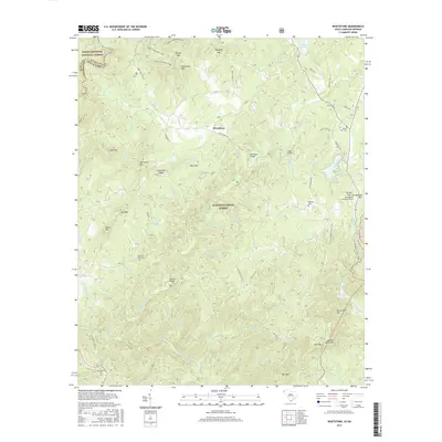
2017 Map of Whetstone
USGS Topo · Published 2017About this map
The Chattooga River forms the state line between Oconee County, South Carolina, and Rabun County, Georgia, carving a deep boundary through the protected lands of the Chattahoochee National Forest and Sumter National Forest. This 2017 study captures a landscape defined by sharp elevation changes, from Chattooga Ridge down to the complex drainage systems of Whetstone Cr and the Chauga River. The small settlement of Whetstone serves as a central point in an area where historical infrastructure remains prominent.
Find a feature on this map
84 named features on this map. Tap any name to fly to it.
Don’t see what you’re looking for? This feature index may not catch every label — zoom into the map to look around manually.
Map Details
Editions of this 2017 Whetstone Map
This is the sole edition of this map. No revisions or reprints were ever made.
Other maps of this area

1886 · Walhalla
USGS Topo · 1:125,000

1892 · Walhalla
USGS Topo · 1:125,000

1896 · Walhalla
USGS Topo · 1:125,000

1935 · Rabun Bald
USGS Topo · 1:24,000
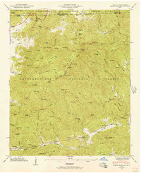
1946 · Rabun Bald
USGS Topo · 1:24,000
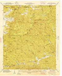
1947 · Rabun Bald
USGS Topo · 1:24,000

1954 · Greenville
USGS Topo · 1:250,000

1957 · Tugaloo Lake
USGS Topo · 1:24,000
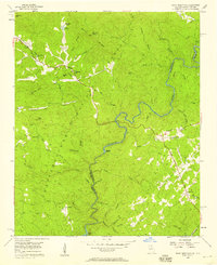
1957 · Rainy Mountain
USGS Topo · 1:24,000

1958 · Greenville
USGS Topo · 1:250,000