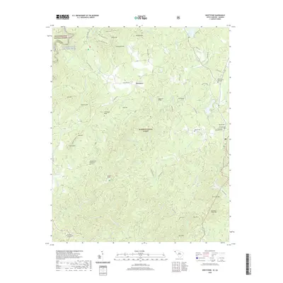
2020 Map of Whetstone
USGS Topo · Published 2020About this map
Chattooga Wild and Scenic River defines the western border of this Oconee County landscape, where the Blue Ridge foothills meet the Georgia state line. The settlement patterns follow the winding course of the Chauga River and its numerous tributaries, such as Devils Fork Cr and Whetstone Br. Historical infrastructure is particularly visible around Stumphouse Mtn, where the presence of the Mountain Tunnel near Tunnel Hill indicates a significant 19th-century engineering endeavor designed to pierce the mountainside. Local social and family history is preserved through a network of rural churches and burial grounds, including the Mountain Grove Baptist Church Graveyard and Brasstown Baptist Church Graveyard. Access to the interior is provided by crossings like Blackwell Bridge and the Cassidy Bridge, while recreational routes like the Bartram Trail and Rocky Gap Horse Trail traverse the forested slopes of Rich Mtn and Chattooga Ridge.
Find a feature on this map
94 named features on this map. Tap any name to fly to it.
Don’t see what you’re looking for? This feature index may not catch every label — zoom into the map to look around manually.
Map Details
Editions of this 2020 Whetstone Map
This is the sole edition of this map. No revisions or reprints were ever made.
Other maps of this area

1886 · Walhalla
USGS Topo · 1:125,000

1892 · Walhalla
USGS Topo · 1:125,000

1896 · Walhalla
USGS Topo · 1:125,000

1935 · Rabun Bald
USGS Topo · 1:24,000
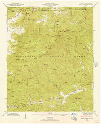
1946 · Rabun Bald
USGS Topo · 1:24,000
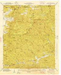
1947 · Rabun Bald
USGS Topo · 1:24,000

1954 · Greenville
USGS Topo · 1:250,000

1957 · Tugaloo Lake
USGS Topo · 1:24,000
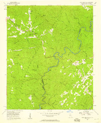
1957 · Rainy Mountain
USGS Topo · 1:24,000

1958 · Greenville
USGS Topo · 1:250,000