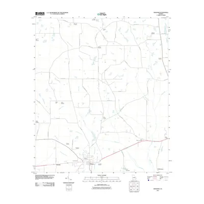
2011 Map of Whigham
USGS Topo · Published 2011About this map
Whigham and the surrounding Grady County countryside are defined by a network of rural roads and scattered family cemeteries in this 2011 survey. The landscape is carved by numerous waterways including Wolf Creek, Tired Creek, and Black Creek, which feed into local catchments like Ezell Lake and Terrell Lake. The settlement pattern reflects deep-rooted local history, with named locations such as Peoples Still, Curry Hill, and Roddenberry anchoring the corners of the quadrangle. Genealogists will find a wealth of data points here, as the map meticulously records nearly a dozen burial sites, ranging from the large Whigham Cemetery and Woodlawn Cemetery near the town center to the more remote Travelers Rest Cemetery and Paulk Cemetery. The transport network, from the busy corridor of Old 84 to the winding Lime Sink Rd, shows how these communities remain connected across the southwestern Georgia terrain.
Find a feature on this map
63 named features on this map. Tap any name to fly to it.
Don’t see what you’re looking for? This feature index may not catch every label — zoom into the map to look around manually.
Map Details
Editions of this 2011 Whigham Map
This is the sole edition of this map. No revisions or reprints were ever made.
Other maps of this area

1953 · Dothan
USGS Topo · 1:250,000

1954 · Dothan
USGS Topo · 1:250,000

1954 · Tallahassee
USGS Topo · 1:250,000

1955 · Dothan
USGS Topo · 1:250,000

1955 · Whigham
USGS Topo · 1:62,500

1956 · Cairo
USGS Topo · 1:62,500

1959 · Tallahassee
USGS Topo · 1:250,000

1960 · Tallahassee
USGS Topo · 1:250,000

1971 · Gee Pond
USGS Topo · 1:24,000

1971 · Vada
USGS Topo · 1:24,000