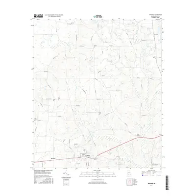
2017 Map of Whigham
USGS Topo · Published 2017About this map
The town of Whigham serves as the focal point of this Grady County landscape, situated at the junction of several regional routes and the local rail line. A network of cemeteries, including Woodlawn Cem, Whigham Cem, and Griffin Memorial Gardens, suggests a long-established community structure centered around these quiet family and memorial grounds. To the west, the settlement of Boydville marks the transition into more rural drainage basins, where Attapulgus Cr and Sweetwater Br wind through the terrain.
Find a feature on this map
82 named features on this map. Tap any name to fly to it.
Don’t see what you’re looking for? This feature index may not catch every label — zoom into the map to look around manually.
Map Details
Editions of this 2017 Whigham Map
This is the sole edition of this map. No revisions or reprints were ever made.
Other maps of this area

1953 · Dothan
USGS Topo · 1:250,000

1954 · Dothan
USGS Topo · 1:250,000

1954 · Tallahassee
USGS Topo · 1:250,000

1955 · Dothan
USGS Topo · 1:250,000

1955 · Whigham
USGS Topo · 1:62,500

1956 · Cairo
USGS Topo · 1:62,500

1959 · Tallahassee
USGS Topo · 1:250,000

1960 · Tallahassee
USGS Topo · 1:250,000

1971 · Gee Pond
USGS Topo · 1:24,000

1971 · Vada
USGS Topo · 1:24,000