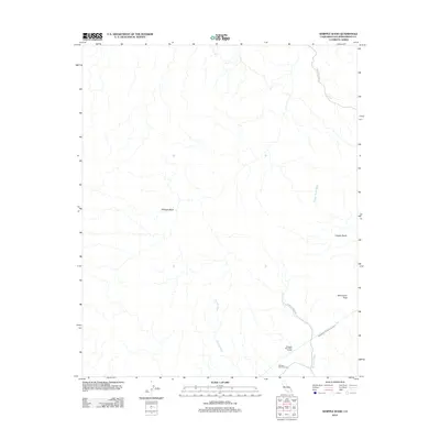
2012 Map of Whipple Wash
USGS Topo · Published 2012About this map
The Colorado River Aqueduct carves across the desert terrain of San Bernardino County, a massive engineering feat that defines the local landscape. This 2012 survey illustrates the complex water management infrastructure within the Whipple Mountains, including the Whipple Mountain Tunnel and the Whipple Mountain Adit. These features highlight the intersection of industrial utility and the natural topography of the Copper Basin.
Find a feature on this map
11 named features on this map. Tap any name to fly to it.
Don’t see what you’re looking for? This feature index may not catch every label — zoom into the map to look around manually.
Map Details
Editions of this 2012 Whipple Wash Map
This is the sole edition of this map. No revisions or reprints were ever made.
Other maps of this area

1911 · Parker
USGS Topo · 1:125,000

1943 · Giers Basin
USGS Topo · 1:62,500

1943 · Whipple Mts.
USGS Topo · 1:62,500

1943 · Parker
USGS Topo · 1:62,500

1949 · Parker
USGS Topo · 1:62,500

1950 · Parker Dam Area
USGS Topo · 1:62,500

1950 · Parker
USGS Topo · 1:62,500

1950 · Whipple Mts
USGS Topo · 1:62,500

1952 · Whipple Mts
USGS Topo · 1:62,500

1954 · Needles
USGS Topo · 1:250,000