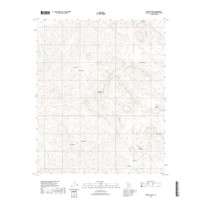
2018 Map of Whipple Wash
USGS Topo · Published 2018About this map
Whipple Mountains terrain dominates this corner of the Mojave Desert in San Bernardino County, where significant infrastructure projects intersect with the arid landscape. The Colorado River Aqueduct is a prominent feature, including the Whipple Mountain Tunnel and the Whipple Mountain Adit situated near the base of the range. These markings highlight the mid-century engineering required to move water across the desert. Natural landmarks like Monument Peak and the high drainage of Whipple Wash provide topographical context for the area's geological character. Historically significant water sources like Willow Spring and the mineral-rich Copper Basin are also documented, alongside desert access routes such as Trail End Camp Rd and Bowmans Wash Rd.
Find a feature on this map
15 named features on this map. Tap any name to fly to it.
Don’t see what you’re looking for? This feature index may not catch every label — zoom into the map to look around manually.
Map Details
Editions of this 2018 Whipple Wash Map
This is the sole edition of this map. No revisions or reprints were ever made.
Other maps of this area

1911 · Parker
USGS Topo · 1:125,000

1943 · Giers Basin
USGS Topo · 1:62,500

1943 · Whipple Mts.
USGS Topo · 1:62,500

1943 · Parker
USGS Topo · 1:62,500

1949 · Parker
USGS Topo · 1:62,500

1950 · Parker Dam Area
USGS Topo · 1:62,500

1950 · Parker
USGS Topo · 1:62,500

1950 · Whipple Mts
USGS Topo · 1:62,500

1952 · Whipple Mts
USGS Topo · 1:62,500

1954 · Needles
USGS Topo · 1:250,000