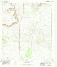
1983 Map of Whirlwind Spring
USGS Topo · Published 1991About this map
Kokernot Mesa dominates the northwestern landscape of this Brewster County region, characterized by its sharp escarpments and the drainage of Bear Canyon. This arid West Texas terrain is defined by its intermittent water sources, where Whirlwind Spring and various unnamed Springs provide critical relief. The hydrology of the area flows through significant features like Calamity Creek and Butcherknife Draw, which traverse the broad expanse of Green Valley. Human activity is marked by resource extraction and livestock infrastructure, evidenced by a Gravel Pit in the northeast and numerous scattered Tanks and Wells. The presence of several Drill Holes suggests historical exploration of the subsurface geology, while State Highway 118 provides the primary transit corridor through this high-desert environment.
Find a feature on this map
13 named features on this map. Tap any name to fly to it.
Don’t see what you’re looking for? This feature index may not catch every label — zoom into the map to look around manually.
Map Details
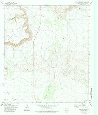
Editions of this 1983 Whirlwind Spring Map
2 editions found
Other maps of this area

1895 · Alpine
USGS Topo · 1:125,000

1917 · Santiago Peak
USGS Topo · 1:62,500

1917 · Buck Hill
USGS Topo · 1:62,500

1918 · Bone Spring
USGS Topo · 1:125,000

1918 · Buck Hill
USGS Topo · 1:62,500

1918 · Santiago Peak
USGS Topo · 1:62,500

1920 · Monument Spring
USGS Topo · 1:62,500

1921 · Monument Spring
USGS Topo · 1:62,500

1925 · Buck Hill
USGS Topo · 1:62,500
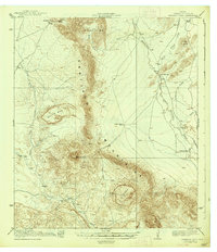
1938 · Santiago Peak
USGS Topo · 1:62,500