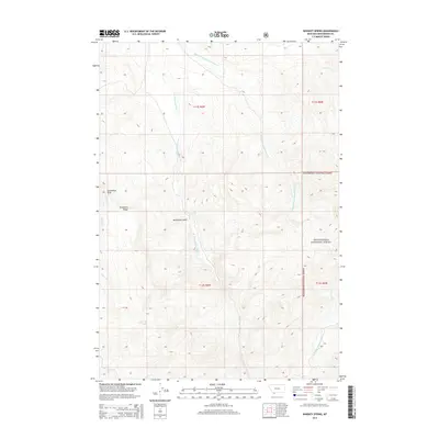
2014 Map of Whiskey Spring
USGS Topo · Published 2014About this map
Beaverhead National Forest encompasses the high country of Beaverhead County in this 2014 survey. The landscape is defined by the headwaters of the Blacktail Deer Creek system, with the Middle Fork Blacktail Deer Cr and W Fork Blacktail Deer Cr carving through the terrain. Evidence of the region's historic character is preserved in colorful local nomenclature such as Moonshine Gulch and Whiskey Spring, names that evoke a era of early western exploration and resource use. Distinctive geological markers like Steamboat Rock and the high Snowbank Ridge provide orientation points in a wilderness area devoid of modern settlements. High-altitude water features like Cooks Lake and various drainage forks, including Alkali Cr and Basin Cr, illustrate the complex hydrology that feeds the larger Missouri River watershed.
Find a feature on this map
16 named features on this map. Tap any name to fly to it.
Don’t see what you’re looking for? This feature index may not catch every label — zoom into the map to look around manually.
Map Details
Editions of this 2014 Whiskey Spring Map
This is the sole edition of this map. No revisions or reprints were ever made.
Other maps of this area

1955 · Dubois
USGS Topo · 1:250,000

1958 · Dubois
USGS Topo · 1:250,000
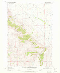
1968 · Price Creek
USGS Topo · 1:24,000

1968 · Whiskey Spring
USGS Topo · 1:24,000

1968 · Lima Dam
USGS Topo · 1:24,000
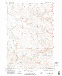
1968 · Price Creek NE
USGS Topo · 1:24,000

1968 · Vinegar Hill
USGS Topo · 1:24,000

1968 · Henry Gulch
USGS Topo · 1:24,000

1968 · Antone Peak
USGS Topo · 1:24,000
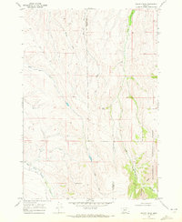
1968 · Swamp Creek
USGS Topo · 1:24,000