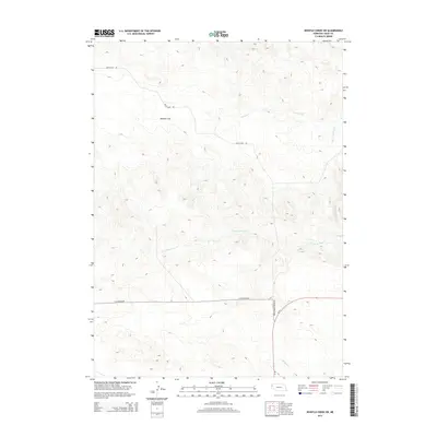
2014 Map of Whistle Creek SW
USGS Topo · Published 2014About this map
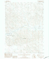
Royville Flat dominates the northwestern portion of this Sioux County landscape, representing the high tablelands of the Nebraska Panhandle. The terrain is defined by a network of drainage systems, including the headwaters of Whistle Cr and the winding Coyote Springs Cr, which carve through the undulating topography toward the south and east. In the southern reach of the map, the S Br Snake Cr marks the lower elevation drainage pattern.
Find a feature on this map
7 named features on this map. Tap any name to fly to it.
Don’t see what you’re looking for? This feature index may not catch every label — zoom into the map to look around manually.
Map Details
Editions of this 2014 Whistle Creek SW Map
This is the sole edition of this map. No revisions or reprints were ever made.
Other maps of this area

1899 · Whistle Creek
USGS Topo · 1:125,000

1955 · Alliance
USGS Topo · 1:250,000

1957 · Alliance
USGS Topo · 1:250,000

1958 · Alliance
USGS Topo · 1:250,000

1979 · Mount Edna
USGS Topo · 1:24,000

1979 · Agate
USGS Topo · 1:24,000
1983 · Chalk Buttes NE
USGS Topo · 1:24,000
1983 · University Lake NW
USGS Topo · 1:24,000
1983 · University Lake NE
USGS Topo · 1:24,000
1983 · Whistle Creek NW
USGS Topo · 1:24,000