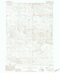
1983 Map of Whistle Creek SW
USGS Topo · Published 1984About this map
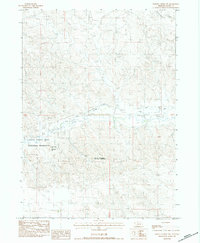
Royville Flat dominates the high plains of Sioux County in this early 1980s look at Nebraska’s western edge. The map reveals a working landscape where water management is central to life, evidenced by numerous Irr Wells scattered across the township lines. Agriculture and infrastructure are the primary markers of human presence, with the Johnson Ranch situated in the northwest and two distinct types of electrical infrastructure—the Trans Line Steel Tower and Trans Line Wooden Pole—traversing the southern sections. The natural drainage of the region is defined by the winding paths of Whistle Creek and Coyote Springs Creek, which carve through the high tableland. This document provides a clear view of the intersection between traditional ranching and the modernized utilities required to sustain prairie operations.
Find a feature on this map
11 named features on this map. Tap any name to fly to it.
Don’t see what you’re looking for? This feature index may not catch every label — zoom into the map to look around manually.
Map Details
Editions of this 1983 Whistle Creek SW Map
This is the sole edition of this map. No revisions or reprints were ever made.
Other maps of this area

1899 · Whistle Creek
USGS Topo · 1:125,000

1955 · Alliance
USGS Topo · 1:250,000

1957 · Alliance
USGS Topo · 1:250,000

1958 · Alliance
USGS Topo · 1:250,000

1979 · Mount Edna
USGS Topo · 1:24,000

1979 · Agate
USGS Topo · 1:24,000
1983 · Chalk Buttes NE
USGS Topo · 1:24,000
1983 · University Lake NW
USGS Topo · 1:24,000
1983 · University Lake NE
USGS Topo · 1:24,000
1983 · Whistle Creek NW
USGS Topo · 1:24,000