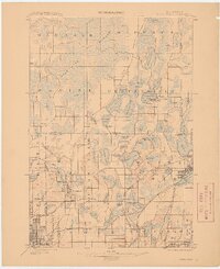
1902 Map of White Bear
USGS Topo · Published 1910About this map
The sprawling wetlands and lakes north of the Twin Cities dominate this 1899 survey, where the Columbus Marsh and vast stretches of Wiregrass define the landscape. This area, surveyed by Geo. T. Hawkins and Wm. H. Griffin, illustrates a complex hydrography feeding into Rice Creek, punctuated by significant early infrastructure like the Artesian Wells Pumping Station and the Minneapolis Reservoir.
Find a feature on this map
81 named features on this map. Tap any name to fly to it.
Don’t see what you’re looking for? This feature index may not catch every label — zoom into the map to look around manually.
Map Details
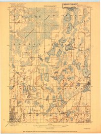
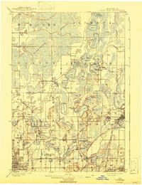
Editions of this 1902 White Bear Map
4 editions found
Other maps of this area

1896 · Minneapolis
USGS Topo · 1:62,500

1896 · St. Paul
USGS Topo · 1:62,500

1901 · Minneapolis
USGS Topo · 1:62,500

1902 · White Bear
USGS Topo · 1:62,500

1902 · Anoka
USGS Topo · 1:62,500

1916 · St. Francis
USGS Topo · 1:62,500

1919 · St. Francis
USGS Topo · 1:62,500

1946 · Hudson
USGS Topo · 1:62,500

1948 · Stillwater
USGS Topo · 1:62,500

1949 · Hudson
USGS Topo · 1:62,500