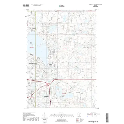
2019 Map of White Bear Lake East
USGS Topo · Published 2019About this map
The eastern shores of White Bear Lake form the heart of this landscape, where the Ramsey Co Washington Co line divides a densely developed suburban corridor from the open waters and wetlands to the north. Communities like Mahtomedi, Willernie, and Birchwood Village cluster along the shoreline, reflecting a legacy of lakeside settlement and seasonal recreation that has evolved into established residential enclaves. Further south, the map details the expanding reach of Maplewood and Oakdale, intersected by major arteries like Highway 36 Blvd N.
Find a feature on this map
57 named features on this map. Tap any name to fly to it.
Don’t see what you’re looking for? This feature index may not catch every label — zoom into the map to look around manually.
Map Details
Editions of this 2019 White Bear Lake East Map
This is the sole edition of this map. No revisions or reprints were ever made.
Other maps of this area
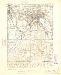
1896 · St. Paul
USGS Topo · 1:62,500
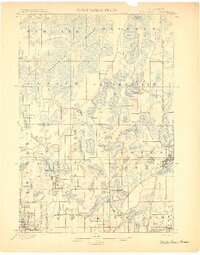
1902 · White Bear
USGS Topo · 1:62,500
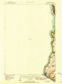
1946 · Hudson
USGS Topo · 1:62,500
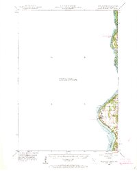
1948 · Stillwater
USGS Topo · 1:62,500
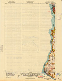
1949 · Hudson
USGS Topo · 1:62,500
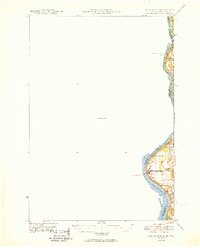
1949 · Stillwater
USGS Topo · 1:62,500
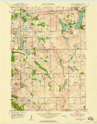
1949 · Lake Elmo
USGS Topo · 1:24,000
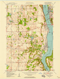
1949 · Hudson
USGS Topo · 1:24,000
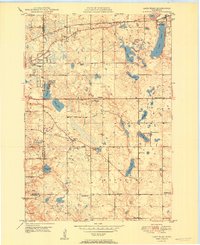
1950 · Lake Elmo
USGS Topo · 1:24,000
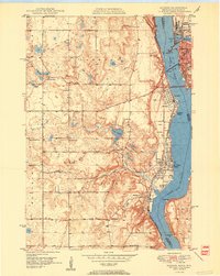
1950 · Hudson
USGS Topo · 1:24,000