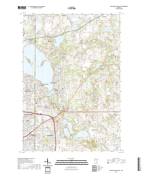
2022 Map of White Bear Lake East
USGS Topo · Published 2022About this map
White Bear Lake and its eastern shoreline anchor this landscape of dense residential development and numerous glacial basins. The interconnected communities of Mahtomedi, Willernie, and Birchwood Village illustrate a pattern of suburban growth that wraps around the waterfront, including the residential enclave on Manitou Island. Institutional presence is significant in the southern portion of the sheet, where the Century Community and Technical College and North Saint Paul Community School serve the expanding populations of Maplewood and North St. Paul.
Find a feature on this map
130 named features on this map. Tap any name to fly to it.
Don’t see what you’re looking for? This feature index may not catch every label — zoom into the map to look around manually.
Map Details
Editions of this 2022 White Bear Lake East Map
This is the sole edition of this map. No revisions or reprints were ever made.
Historical Maps of Duluth Junction Through Time
8 maps found
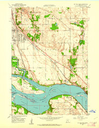
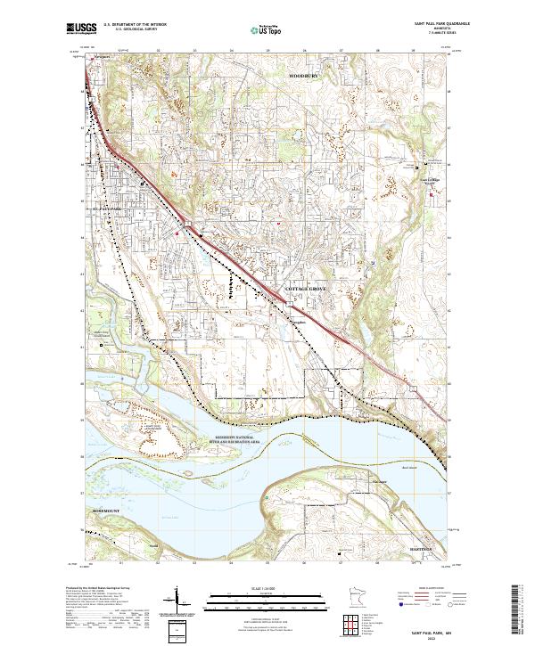
1950 St Paul Park
Washington County, MN
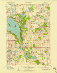
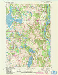
1951 White Bear Lake East
Washington County, MN
1955 Marine
Washington County, MN
1967 Marine On St. Croix
Washington County, MN
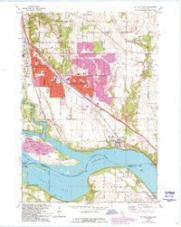
1967 St Paul Park
Washington County, MN
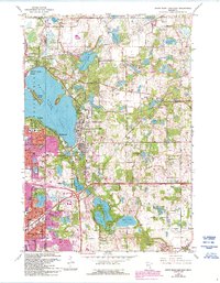
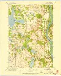
1967 White Bear Lake East
Washington County, MN
2022 Saint Paul Park
Washington County, MN
2022 White Bear Lake East
Washington County, MN