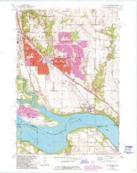
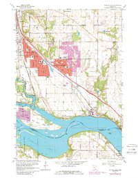
1967 Map of St Paul Park
USGS Topo · Published 1993About this map
The Mississippi River creates a dynamic border between Washington and Dakota counties, defining the landscape of St Paul Park and the expanding residential corridors of Cottage Grove. This 1967 survey, with revisions into the early 1990s, documents the suburban transition along the Chicago Burlington and Quincy RR and Chicago Milwaukee St Paul and Pacific RR. Notable industrial footprints including Gravel Pits and Sewage Disposal facilities sit alongside local institutions like St Thomas Ch and Park High Sch. South of the river, the township of Nininger and the small settlement of Sedil appear near the expansive Spring Lake, while the river itself is managed by the critical infrastructure of Lock and Dam No 2. This map provides a detailed view of the area's mid-century growth and its relationship to the historic river islands like Grey Cloud Island.
Find a feature on this map
50 named features on this map. Tap any name to fly to it.
Don’t see what you’re looking for? This feature index may not catch every label — zoom into the map to look around manually.
Map Details
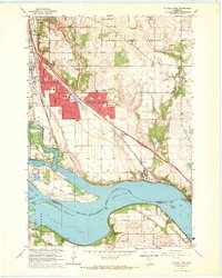
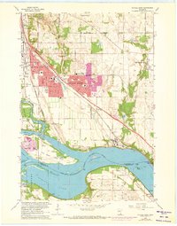
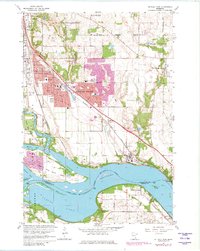
Editions of this 1967 St Paul Park Map
5 editions found
Other maps of this area

1896 · St. Paul
USGS Topo · 1:62,500

1946 · Hudson
USGS Topo · 1:62,500

1949 · Hudson
USGS Topo · 1:62,500

1949 · Lake Elmo
USGS Topo · 1:24,000

1949 · Hudson
USGS Topo · 1:24,000

1950 · Lake Elmo
USGS Topo · 1:24,000

1950 · Hudson
USGS Topo · 1:24,000

1950 · St Paul Park
USGS Topo · 1:24,000

1951 · St Paul Park
USGS Topo · 1:24,000

1951 · Prescott
USGS Topo · 1:24,000