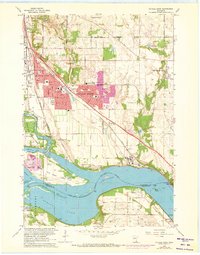
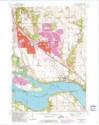
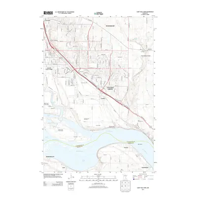
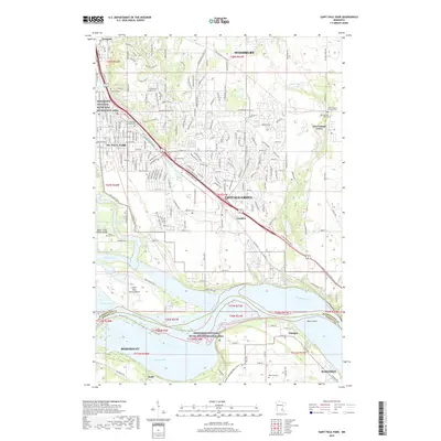
1967 Map of St Paul Park
USGS Topo · Published 1973About this map
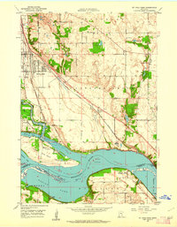
St Paul Park and the adjacent Cottage Grove area are defined by their position along the Mississippi River, where heavy industrial activity and suburban growth meet. The landscape is dominated by the sprawling Chicago Milwaukee St Paul and Pacific rail lines and the presence of substantial Stockyards near the riverbank. This 1967 survey captures the region just before significant urban expansion, as indicated by the purple-tinted revisions showing new residential developments near Park High Sch and Hillside Sch. Across the water, the quiet character of Upper Grey Cloud Island and Grey Cloud Island contrasts with the industrial infrastructure, including the Substation and various Gravel Pits. To the south, Lock and Dam No 2 marks a critical point for river navigation near the historic river town of Hastings, while the small settlement of Nininger sits on the high ground overlooking Spring Lake.
Find a feature on this map
52 named features on this map. Tap any name to fly to it.
Don’t see what you’re looking for? This feature index may not catch every label — zoom into the map to look around manually.
Map Details
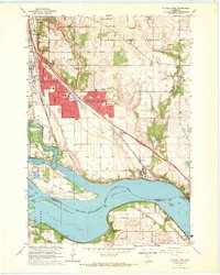
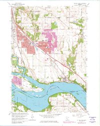
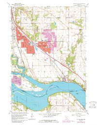
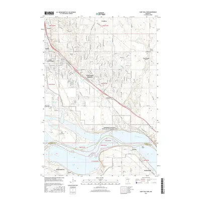
Editions of this 1967 St Paul Park Map
5 editions found
Historical Maps of Woodbury Through Time
16 maps found
1950 St Paul Park
Washington County, MN
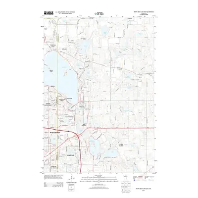
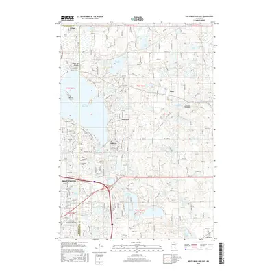
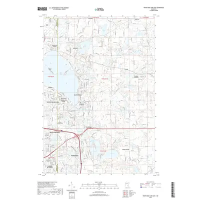
1951 White Bear Lake East
Washington County, MN
1955 Marine
Washington County, MN
1967 Marine On St. Croix
Washington County, MN
1967 St Paul Park
Washington County, MN
1967 White Bear Lake East
Washington County, MN
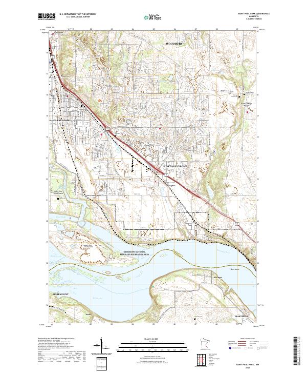
2010 Saint Paul Park
Washington County, MN
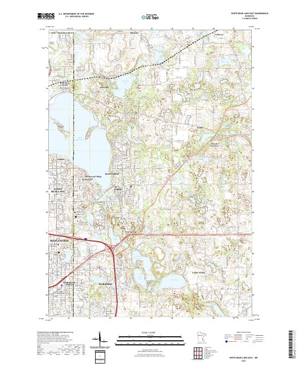
2010 White Bear Lake East
Washington County, MN
2013 Saint Paul Park
Washington County, MN
2013 White Bear Lake East
Washington County, MN
2016 Saint Paul Park
Washington County, MN
2016 White Bear Lake East
Washington County, MN
2019 Saint Paul Park
Washington County, MN
2019 White Bear Lake East
Washington County, MN
2022 Saint Paul Park
Washington County, MN
2022 White Bear Lake East
Washington County, MN