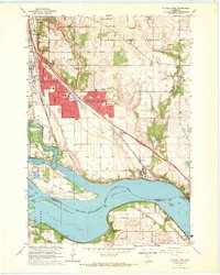
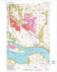
1967 Map of St Paul Park
USGS Topo · Published 1969About this map
The Mississippi River and its backwater channels define this landscape southeast of the Twin Cities during the late 1960s. Residential expansion is concentrated around St. Paul Park and Cottage Grove, where new subdivisions sit adjacent to older infrastructure like the St Paul-Park Airport. The river corridor itself remains a complex environment of islands and sloughs, most notably Grey Cloud Island, which is home to the Grey Cloud Cem and several gravel pits. To the south, the river opens into Spring Lake near Nininger. The era's heavy industrial and transportation reliance on the water is evident at Lock and Dam No 2 and the convergence of the Chicago Burlington and Quincy and Chicago Milwaukee St Paul and Pacific railroads, which parallel the river's eastern shore through Langdon and Newport.
Find a feature on this map
55 named features on this map. Tap any name to fly to it.
Don’t see what you’re looking for? This feature index may not catch every label — zoom into the map to look around manually.
Map Details
Editions of this 1967 St Paul Park Map
5 editions found
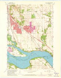
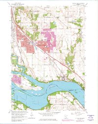
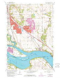
Other maps of this area

1896 · St. Paul
USGS Topo · 1:62,500

1946 · Hudson
USGS Topo · 1:62,500

1949 · Hudson
USGS Topo · 1:62,500

1949 · Lake Elmo
USGS Topo · 1:24,000

1949 · Hudson
USGS Topo · 1:24,000

1950 · Lake Elmo
USGS Topo · 1:24,000

1950 · Hudson
USGS Topo · 1:24,000

1950 · St Paul Park
USGS Topo · 1:24,000

1951 · St Paul Park
USGS Topo · 1:24,000

1951 · Prescott
USGS Topo · 1:24,000