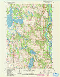
1967 Map of Marine On St. Croix
USGS Topo · Published 1993About this map
Marine on St Croix and the riverfront communities of Copas and Otisville define the eastern edge of this landscape along the St Croix River. By the late 1960s, the area had transitioned into a significant recreational and conservation corridor, anchored by William O'Brien State Park and large educational or youth facilities such as the Amherst H Wilder Day Camp Area and Camp Kiwanis. The interior of the quadrangle is a complex glaciated terrain characterized by dozens of named water bodies, including the expansive Big Marine Lake and the deep Square Lake. Local history is preserved in sites like Oakland Cemetery and Elim Cem, while the northern boundary at New Scandia reflects the agricultural and Swedish-American heritage of Washington County. Revisions from 1991 highlight more modern developments, including a Science Museum and residential growth near Lake Alice, juxtaposed with older industrial traces like the Quarry and various Gravel Pits.
Find a feature on this map
42 named features on this map. Tap any name to fly to it.
Don’t see what you’re looking for? This feature index may not catch every label — zoom into the map to look around manually.
Map Details
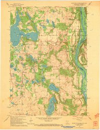
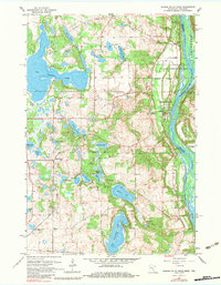
Editions of this 1967 Marine On St. Croix Map
3 editions found
Other maps of this area

1900 · St Croix Dalles
USGS Topo · 1:62,500

1901 · St Croix Dalles
USGS Topo · 1:62,500

1948 · New Richmond
USGS Topo · 1:62,500

1948 · Stillwater
USGS Topo · 1:62,500

1949 · New Richmond
USGS Topo · 1:62,500

1949 · Stillwater
USGS Topo · 1:62,500

1951 · White Bear Lake East
USGS Topo · 1:24,000

1951 · Stillwater
USGS Topo · 1:24,000

1953 · Stillwater
USGS Topo · 1:250,000

1954 · Hugo
USGS Topo · 1:24,000