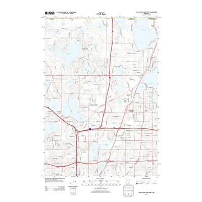
2013 Map of White Bear Lake West
USGS Topo · Published 2013About this map
North Oaks and the surrounding lake-rich communities of Ramsey County appear in high detail during this contemporary period of development. The landscape is defined by its glacial history, with dozens of named water bodies such as Pleasant Lake, Vadnais Lake, and Bald Eagle Lake punctuating the residential and suburban grid. The map highlights the unique enclave of North Oaks, as well as Vadnais Heights and the smaller community of Gem Lake.
Find a feature on this map
81 named features on this map. Tap any name to fly to it.
Don’t see what you’re looking for? This feature index may not catch every label — zoom into the map to look around manually.
Map Details
Editions of this 2013 White Bear Lake West Map
This is the sole edition of this map. No revisions or reprints were ever made.
Other maps of this area

1896 · St. Paul
USGS Topo · 1:62,500

1902 · White Bear
USGS Topo · 1:62,500

1946 · Hudson
USGS Topo · 1:62,500

1948 · Stillwater
USGS Topo · 1:62,500

1949 · Hudson
USGS Topo · 1:62,500

1949 · Stillwater
USGS Topo · 1:62,500

1949 · Lake Elmo
USGS Topo · 1:24,000

1950 · Lake Elmo
USGS Topo · 1:24,000

1951 · White Bear Lake East
USGS Topo · 1:24,000

1951 · St. Paul West
USGS Topo · 1:24,000