Loading...
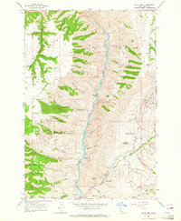
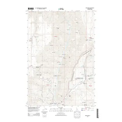
Loading map...1963 Map of White Bird
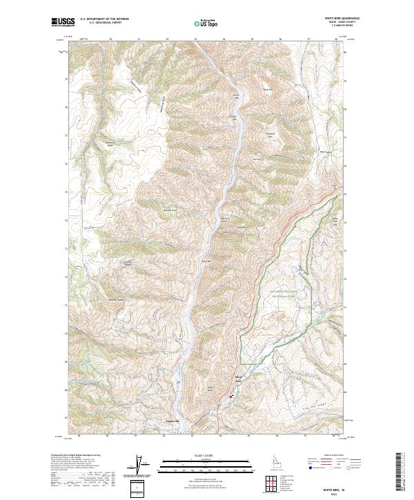
USGS Topo · Published 1965About this map
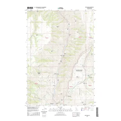
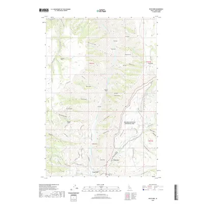
The Salmon River cuts a deep canyon through this part of Idaho, flanked by the elevated Dou Me C Plains and Log Ridge. In the early 1960s, the landscape was defined by its dramatic elevation changes and a network of primitive access routes, including a Jeep Trail winding across Hogback Ridge. The confluence of White Bird Creek and the river marks a location of significant historical weight, preserved here at the Battle Ground and the Nezperce Indian War Historical Monument.
Find a feature on this map
58 named features on this map. Tap any name to fly to it.
Don’t see what you’re looking for? This feature index may not catch every label — zoom into the map to look around manually.
Map Details
Date Portrayed1963
Date Published1965
PublisherU.S. Geological Survey
Map TypeTopographic
Scale1:24,000
Physical Dimensions22 x 26.8 inches
Editions of this 1963 White Bird Map
2 editions found
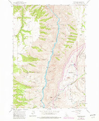
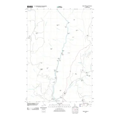
Historical Maps of White Bird Through Time
7 maps found
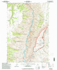
Featured Locations
Source Details
SourceU.S. Geological Survey
CopyrightPublic Domain