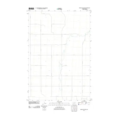
2011 Map of White Butte NW
USGS Topo · Published 2011About this map
Plum Creek meanders through this portion of Stark County, defining the drainage of a landscape primarily organized by the rigid section-line grid of the Public Land Survey System. The map documents the rural infrastructure of the early 21st century, where a network of gravel and dirt roads like 46th St SW and 97th Ave SW divide the prairie into distinct square-mile parcels. This geometric layout reflects over a century of agricultural tradition in North Dakota, where transport routes are dictated more by property boundaries than topography. Small prairie potholes and seasonal water catchments are scattered across the terrain, illustrating the natural hydrology that persists alongside the established road network from 54th St SW in the south to the northern reaches of the quadrangle.
Find a feature on this map
16 named features on this map. Tap any name to fly to it.
Don’t see what you’re looking for? This feature index may not catch every label — zoom into the map to look around manually.
Map Details
Editions of this 2011 White Butte NW Map
This is the sole edition of this map. No revisions or reprints were ever made.
Other maps of this area

1953 · Dickinson
USGS Topo · 1:250,000

1957 · Dickinson
USGS Topo · 1:250,000

1960 · White Butte West
USGS Topo · 1:24,000

1960 · White Butte NW
USGS Topo · 1:24,000

1960 · White Butte NE
USGS Topo · 1:24,000

1960 · White Butte East
USGS Topo · 1:24,000

1973 · Bratburg Butte
USGS Topo · 1:24,000

1973 · Lefor
USGS Topo · 1:24,000

1973 · Richardton SE
USGS Topo · 1:24,000

1973 · Gladstone
USGS Topo · 1:24,000