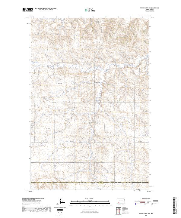
2024 Map of White Butte NW
USGS Topo · Published 2024About this map
Plum Creek meanders through a landscape defined by the rigid geometry of the Public Land Survey System, where section lines dictate the path of local travel. This area on the high plains is marked by the transition between Stark Co and Hettinger Co, showing a rural infrastructure built around a sprawling grid of gravel roads and section markers. The map illustrates a contemporary view of the Dakotas' agricultural heartland, where the traditional township and range divisions—including t138n r94w and t137n r93w—remain the primary framework for land ownership and local navigation. While modern in its digital compilation, the data captures the enduring character of these rural townships, where named routes like 92nd Ave SW and 46th St SW provide the only breaks in the undulating terrain.
Find a feature on this map
23 named features on this map. Tap any name to fly to it.
Don’t see what you’re looking for? This feature index may not catch every label — zoom into the map to look around manually.
Map Details
Editions of this 2024 White Butte NW Map
This is the sole edition of this map. No revisions or reprints were ever made.
Other maps of this area

1953 · Dickinson
USGS Topo · 1:250,000

1957 · Dickinson
USGS Topo · 1:250,000

1960 · White Butte West
USGS Topo · 1:24,000

1960 · White Butte NW
USGS Topo · 1:24,000

1960 · White Butte NE
USGS Topo · 1:24,000

1960 · White Butte East
USGS Topo · 1:24,000

1973 · Bratburg Butte
USGS Topo · 1:24,000

1973 · Lefor
USGS Topo · 1:24,000

1973 · Richardton SE
USGS Topo · 1:24,000

1973 · Gladstone
USGS Topo · 1:24,000