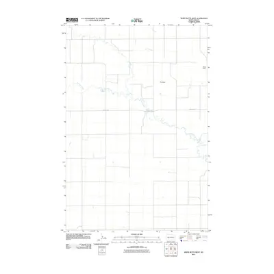
2011 Map of White Butte West
USGS Topo · Published 2011About this map
White Butte and Bull Butte rise as prominent geological landmarks within the High Plains landscape of western North Dakota. This 2011 survey by the U.S. Geological Survey captures the agricultural and natural geography of Hettinger County, where the meandering course of Thirtymile Creek cuts through the prairie. The map reflects a rural infrastructure defined by Section Line roads and named thoroughfares such as Michael's Rd, supporting the farming and ranching operations of the region. In the northern reaches of the quadrangle, Plum Creek drains the open country. This record provides researchers with a clear view of land division and water resources in a sparsely populated part of the state, documenting the relationship between the dramatic butte formations and the drainage systems that define the local topography.
Find a feature on this map
5 named features on this map. Tap any name to fly to it.
Don’t see what you’re looking for? This feature index may not catch every label — zoom into the map to look around manually.
Map Details
Editions of this 2011 White Butte West Map
This is the sole edition of this map. No revisions or reprints were ever made.
Other maps of this area

1953 · Dickinson
USGS Topo · 1:250,000

1957 · Dickinson
USGS Topo · 1:250,000

1960 · White Butte West
USGS Topo · 1:24,000

1960 · White Butte NW
USGS Topo · 1:24,000

1960 · White Butte NE
USGS Topo · 1:24,000

1960 · White Butte East
USGS Topo · 1:24,000

1966 · Mott NW
USGS Topo · 1:24,000

1966 · Regent
USGS Topo · 1:24,000

1966 · Mott North
USGS Topo · 1:24,000

1973 · Lefor
USGS Topo · 1:24,000