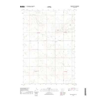
2018 Map of White Butte West
USGS Topo · Published 2018About this map
White Butte rises as a prominent landmark in this corner of Hettinger County, marking the high ground above the drainage basins of Thirtymile Cr and Plum Cr. The landscape is defined by the rigid grid of the Public Land Survey System, where section lines are traced by rural routes like 97 Ave SW and 55 St SW. At the center of the local community landscape sits Saint Michaels Cem, located along St Michael's Rd just south of Bull Butte. This 2018 survey captures the characteristic wide-open ranching or farming layout of southwestern North Dakota, where isolated buttes and small creek branches provide the only relief to the geometric precision of the township roads. The map detail highlights the sparse settlement patterns, recording the names of local watercourses and landforms that have guided travelers and residents through the high plains for generations.
Find a feature on this map
22 named features on this map. Tap any name to fly to it.
Don’t see what you’re looking for? This feature index may not catch every label — zoom into the map to look around manually.
Map Details
Editions of this 2018 White Butte West Map
This is the sole edition of this map. No revisions or reprints were ever made.
Other maps of this area

1953 · Dickinson
USGS Topo · 1:250,000

1957 · Dickinson
USGS Topo · 1:250,000

1960 · White Butte West
USGS Topo · 1:24,000

1960 · White Butte NW
USGS Topo · 1:24,000

1960 · White Butte NE
USGS Topo · 1:24,000

1960 · White Butte East
USGS Topo · 1:24,000

1966 · Mott NW
USGS Topo · 1:24,000

1966 · Regent
USGS Topo · 1:24,000

1966 · Mott North
USGS Topo · 1:24,000

1973 · Lefor
USGS Topo · 1:24,000