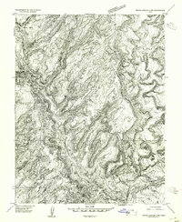
1954 Map of White Canyon 2 NW
USGS Topo · Published 1954About this map
The Dirty Devil River carves a deep, winding path through this corner of Utah, leading down to its confluence with the Colorado River. This early 1950s preliminary study documents the intricate canyon systems and high plateaus before major regional hydrological changes took place. Significant terrain features such as Trachyte Point and the complex drainage of Three Forks dominate the western portion of the map, while the southeastern corner reveals the sheer walls of Narrow Canyon.
Find a feature on this map
8 named features on this map. Tap any name to fly to it.
Don’t see what you’re looking for? This feature index may not catch every label — zoom into the map to look around manually.
Map Details
Editions of this 1954 White Canyon 2 NW Map
This is the sole edition of this map. No revisions or reprints were ever made.
Other maps of this area

1885 · San Rafael
USGS Topo · 1:250,000

1886 · Henry Mountains
USGS Topo · 1:250,000

1892 · Henry Mountains
USGS Topo · 1:250,000

1952 · Orange Cliffs 3 SW
USGS Topo · 1:24,000

1952 · Mt Pennell 1 NE
USGS Topo · 1:24,000

1952 · Mt Hillers
USGS Topo · 1:62,500

1952 · Mt Pennell 1 SE
USGS Topo · 1:24,000

1952 · Hite
USGS Topo · 1:62,500

1952 · Bull Mountain
USGS Topo · 1:62,500

1953 · Orange Cliffs 3 SE
USGS Topo · 1:24,000