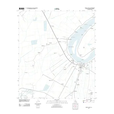
2012 Map of White Castle
USGS Topo · Published 2012About this map
White Castle serves as the focal point for this survey of the West Bank of the Mississippi River, where the landscape is defined by the legacy of sugar plantations and river-based commerce. The town layout is densely packed between the White Castle Revetment and industrial sites like the Texas Spur, showing the transition from agricultural fields to energy production. Beyond the central hub, smaller settlements such as Dorcyville, Soniat, and Samstown follow the curve of the river, their positions often marked by historically significant burial grounds like Saint John Catholic Cem and Saint Paul Baptist Cem.
Find a feature on this map
106 named features on this map. Tap any name to fly to it.
Don’t see what you’re looking for? This feature index may not catch every label — zoom into the map to look around manually.
Map Details
Editions of this 2012 White Castle Map
This is the sole edition of this map. No revisions or reprints were ever made.
Other maps of this area

1908 · Baton Rouge
USGS Topo · 1:62,500

1935 · Chicot Lake
USGS Topo · 1:62,500

1936 · White Castle
USGS Topo · 1:62,500

1939 · Baton Rouge
USGS Topo · 1:62,500

1940 · Grosse Tete
USGS Topo · 1:62,500

1953 · Crescent
USGS Topo · 1:24,000

1953 · Plaquemine
USGS Topo · 1:24,000

1953 · Addis
USGS Topo · 1:24,000

1953 · St. Gabriel
USGS Topo · 1:24,000
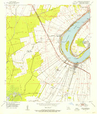
1953 · White Castle
USGS Topo · 1:24,000