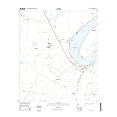
2015 Map of White Castle
USGS Topo · Published 2015About this map
The Mississippi River carves a dramatic path through Iberville Parish, shaping the settlement patterns of traditional river communities like White Castle and Bayou Goula. This 2015 survey illustrates the enduring agricultural and residential layout of the region, where roads like Plantation Rd and the prominent Nottaway Plantation reflect the area's deep history. Small settlements and former plantation sites, including Tally Ho, Blythwood, and Glenmore, are situated along the natural levees, while the low-lying interior is drained by waterways such as Bayou Tigre and the Murrell Canal.
Find a feature on this map
73 named features on this map. Tap any name to fly to it.
Don’t see what you’re looking for? This feature index may not catch every label — zoom into the map to look around manually.
Map Details
Editions of this 2015 White Castle Map
This is the sole edition of this map. No revisions or reprints were ever made.
Other maps of this area

1908 · Baton Rouge
USGS Topo · 1:62,500

1935 · Chicot Lake
USGS Topo · 1:62,500

1936 · White Castle
USGS Topo · 1:62,500

1939 · Baton Rouge
USGS Topo · 1:62,500

1940 · Grosse Tete
USGS Topo · 1:62,500

1953 · Crescent
USGS Topo · 1:24,000

1953 · Plaquemine
USGS Topo · 1:24,000

1953 · Addis
USGS Topo · 1:24,000

1953 · St. Gabriel
USGS Topo · 1:24,000
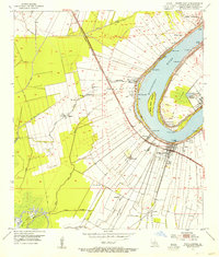
1953 · White Castle
USGS Topo · 1:24,000