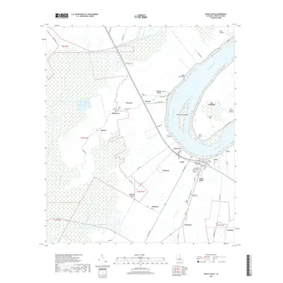
2018 Map of White Castle
USGS Topo · Published 2018About this map
The Mississippi River carves a dramatic sweep through Iberville Parish, defining the landscape and settlement patterns of this riverfront corridor. The town of White Castle serves as a focal point for the region, surrounded by a dense network of smaller communities including Dorcyville, Soniat, and Samstown. These settlements are closely tied to the fertile land between the river and the marshy interiors drained by Bayou Tigre and Bayou Daniels.
Find a feature on this map
68 named features on this map. Tap any name to fly to it.
Don’t see what you’re looking for? This feature index may not catch every label — zoom into the map to look around manually.
Map Details
Editions of this 2018 White Castle Map
This is the sole edition of this map. No revisions or reprints were ever made.
Other maps of this area

1908 · Baton Rouge
USGS Topo · 1:62,500

1935 · Chicot Lake
USGS Topo · 1:62,500

1936 · White Castle
USGS Topo · 1:62,500

1939 · Baton Rouge
USGS Topo · 1:62,500

1940 · Grosse Tete
USGS Topo · 1:62,500

1953 · Crescent
USGS Topo · 1:24,000

1953 · Plaquemine
USGS Topo · 1:24,000

1953 · Addis
USGS Topo · 1:24,000

1953 · St. Gabriel
USGS Topo · 1:24,000
1953 · White Castle
USGS Topo · 1:24,000