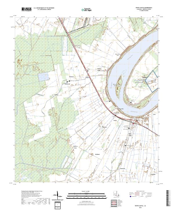
2024 Map of White Castle
USGS Topo · Published 2024About this map
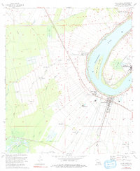
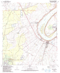
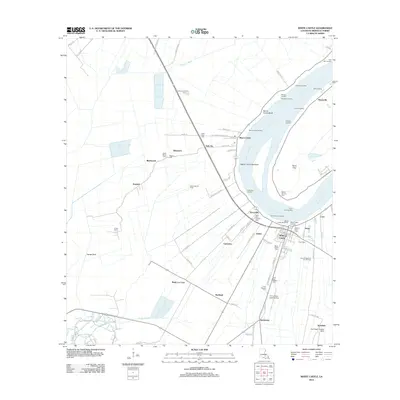
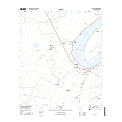
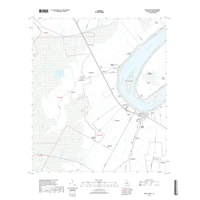
The Mississippi River carves a dramatic bend through this portion of Iberville Parish, shaping a landscape defined by riverside settlements and extensive agricultural tracts. The town of White Castle serves as a primary hub, surrounded by smaller historical communities such as Dorcyville, Soniat, and Catherine. This 2024 map documents a dense concentration of local heritage sites, including numerous cemeteries that reflect the area's complex social and medical history. Notably, the Patients' Hansen's Disease Cem stands near the NG Carville-Gillis Long Center on the eastern bank, while family and parish sites like the Vaughn Family Tomb and Our Lady of Prompt Succor Cem are found further west. The interior is crisscrossed by drainage canals and bayous, including Bayou la Butte and Murrell Canal, which have long supported the region's sugar-producing tradition and rural industry.
Find a feature on this map
80 named features on this map. Tap any name to fly to it.
Don’t see what you’re looking for? This feature index may not catch every label — zoom into the map to look around manually.
Map Details
Editions of this 2024 White Castle Map
This is the sole edition of this map. No revisions or reprints were ever made.
Historical Maps of White Castle Through Time
10 maps found
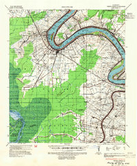
1936 White Castle
Iberville Parish, LA
1953 White Castle
Iberville Parish, LA
1963 White Castle
Iberville Parish, LA
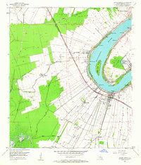
1974 White Castle
Iberville Parish, LA
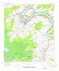
1992 White Castle
Iberville Parish, LA
2012 White Castle
Iberville Parish, LA
2015 White Castle
Iberville Parish, LA
2018 White Castle
Iberville Parish, LA

2020 White Castle
Iberville Parish, LA
2024 White Castle
Iberville Parish, LA