
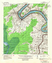
1936 Map of White Castle
USGS Topo · Published 1937About this map
The Mississippi River winds through a landscape defined by the plantation economy and river-dependent settlements in the mid-1930s. Large estates such as Southwood Plantation, Belle Grove Plantation, and Evan Hall Plantation dominate the riverfront, their boundaries and structures meticulously recorded alongside the Texas and Pacific Railway corridor. A notable landmark of the era is the U S Public Health Service No 66 Leper Colony located near the river's bend, reflecting the specialized institutional history of the region.
Find a feature on this map
92 named features on this map. Tap any name to fly to it.
Don’t see what you’re looking for? This feature index may not catch every label — zoom into the map to look around manually.
Map Details
Editions of this 1936 White Castle Map
2 editions found
Other maps of this area

1892 · Donaldsonville
USGS Topo · 1:62,500

1892 · Thibodaux
USGS Topo · 1:62,500

1908 · Baton Rouge
USGS Topo · 1:62,500

1927 · Thibodaux NW
USGS Topo · 1:31,680

1934 · Denham Springs
USGS Topo · 1:62,500

1935 · Gonzales
USGS Topo · 1:31,680

1935 · Chicot Lake
USGS Topo · 1:62,500

1939 · Denham Springs
USGS Topo · 1:62,500

1939 · Baton Rouge
USGS Topo · 1:62,500

1939 · Donaldsonville
USGS Topo · 1:62,500