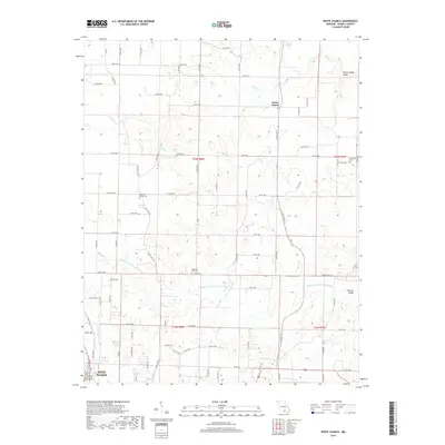
2019 Map of White Church
USGS Topo · Published 2019About this map
White Church serves as a central landmark in this portion of Howell County, where the landscape is defined by the winding paths of several waterways including the Middle Fork Eleven Point River and Little Cr. This agricultural and rural region shows a pattern of settlement organized around the intersection of S State Rte 17 and State Rte N, where the community's early social fabric is preserved through named landmarks. Genealogists will find significant value in the distribution of local burial grounds, such as Dripping Springs Cem, Pleasant View Cem, and New Hope Cem, which are scattered throughout the sections. The terrain transitions from the water-carved Gunters Valley to the northern reaches of West Plains, reflecting a history of land management and transportation that predates modern development.
Find a feature on this map
81 named features on this map. Tap any name to fly to it.
Don’t see what you’re looking for? This feature index may not catch every label — zoom into the map to look around manually.
Map Details
Editions of this 2019 White Church Map
This is the sole edition of this map. No revisions or reprints were ever made.
Other maps of this area

1938 · West Plains
USGS Topo · 1:24,000

1940 · West Plains
USGS Topo · 1:24,000

1943 · Thayer
USGS Topo · 1:62,500

1944 · West Plains
USGS Topo · 1:62,500

1945 · Willow Springs
USGS Topo · 1:62,500

1945 · Montier
USGS Topo · 1:62,500

1946 · Thayer
USGS Topo · 1:62,500

1946 · West Plains
USGS Topo · 1:62,500

1948 · Montier
USGS Topo · 1:62,500

1948 · Willow Springs
USGS Topo · 1:62,500