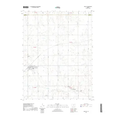
2022 Map of White City
USGS Topo · Published 2022About this map
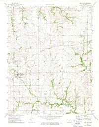
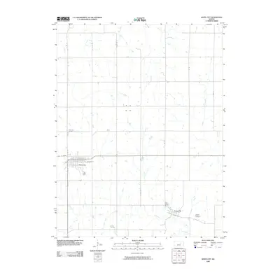
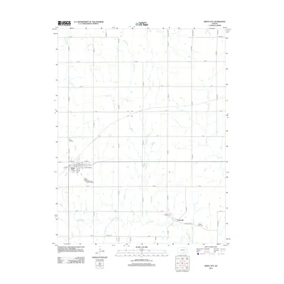
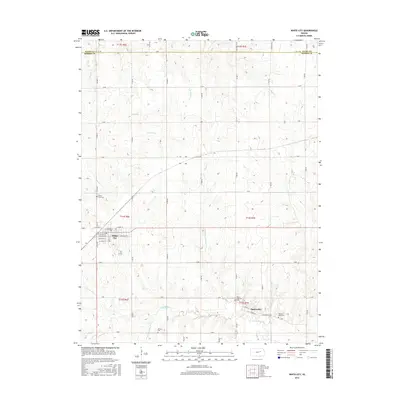
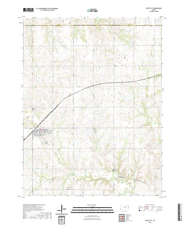
The White City community serves as the central hub of this Morris County landscape, where grid-patterned streets like W Harris St and Stockholm St meet the rolling prairie. This region is defined by the headwaters of the Neosho River and its numerous tributaries, including the W Fork Neosho River and Parkers Cr. The map reveals a high concentration of burial grounds that mark the heritage of early settlers, from the White City Cem on the western edge to the Ramsey-Black Cem near Parkerville. These sites, alongside the Burton Cem and Parker-Highland Cem, emphasize the deep-rooted family history tied to the surrounding section lines and rural homesteads. The terrain is deeply etched by a network of drainage creeks such as Lairds Cr and Thomas Cr, illustrating the natural drainage patterns that have influenced agriculture and movement in the area for generations.
Find a feature on this map
45 named features on this map. Tap any name to fly to it.
Don’t see what you’re looking for? This feature index may not catch every label — zoom into the map to look around manually.
Map Details
Editions of this 2022 White City Map
This is the sole edition of this map. No revisions or reprints were ever made.
Historical Maps of White City Through Time
6 maps found