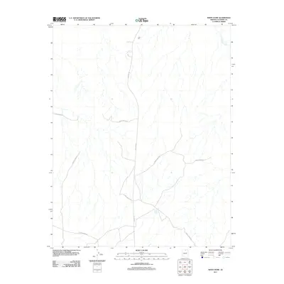
2011 Map of White Dome
USGS Topo · Published 2011About this map
Indian Rte 20 and various branches of Forest Service Rd provide the primary structural framework for this 2011 survey of Coconino County. The landscape is defined by its drainage patterns, most notably the winding path of Antelope Creek in the northeast and the intermittent water sources represented by the White Dome Tank. This map records the essential infrastructure used for managing and navigating this high-desert environment, where access is dictated by the intersection of tribal and federal roadways. The absence of dense residential development emphasizes the area's role as a vast resource or rangeland, where named landmarks like the tank serve as critical navigational waypoints for those working or exploring the region.
Find a feature on this map
4 named features on this map. Tap any name to fly to it.
Don’t see what you’re looking for? This feature index may not catch every label — zoom into the map to look around manually.
Map Details
Editions of this 2011 White Dome Map
This is the sole edition of this map. No revisions or reprints were ever made.
Other maps of this area

1886 · Echo Cliffs
USGS Topo · 1:250,000

1891 · Echo Cliffs
USGS Topo · 1:250,000

1951 · Lees Ferry NE
USGS Topo · 1:24,000

1954 · Lees Ferry SE
USGS Topo · 1:24,000

1954 · Tanner Wash
USGS Topo · 1:62,500

1954 · Leche-E Rock
USGS Topo · 1:62,500

1954 · Lees Ferry
USGS Topo · 1:62,500

1955 · Tanner Wash NE
USGS Topo · 1:24,000

1956 · Marble Canyon
USGS Topo · 1:250,000

1959 · Marble Canyon
USGS Topo · 1:250,000