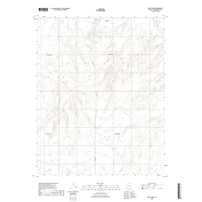
2018 Map of White Dome
USGS Topo · Published 2018About this map
LeChee serves as a primary point of human settlement on this high plateau landscape in Coconino County, situated within the expansive topography of Northern Arizona. The terrain is defined by complex drainage systems and changing elevations, most notably where Antelope Creek cuts through the northeast corner of the quadrangle. Transportation through this remote section of the Navajo Nation is centered on Indian Rte 20, which winds north-to-south across the high desert floor. Water resources, critical in this arid environment, are represented by features such as White Dome Tank in the southern reaches of the map. This 2018 survey provides a precise view of the modern infrastructure and natural landforms before the dramatic drop-offs of the nearby Colorado River corridor.
Find a feature on this map
8 named features on this map. Tap any name to fly to it.
Don’t see what you’re looking for? This feature index may not catch every label — zoom into the map to look around manually.
Map Details
Editions of this 2018 White Dome Map
This is the sole edition of this map. No revisions or reprints were ever made.
Other maps of this area

1886 · Echo Cliffs
USGS Topo · 1:250,000

1891 · Echo Cliffs
USGS Topo · 1:250,000

1951 · Lees Ferry NE
USGS Topo · 1:24,000

1954 · Lees Ferry SE
USGS Topo · 1:24,000

1954 · Tanner Wash
USGS Topo · 1:62,500

1954 · Leche-E Rock
USGS Topo · 1:62,500

1954 · Lees Ferry
USGS Topo · 1:62,500

1955 · Tanner Wash NE
USGS Topo · 1:24,000

1956 · Marble Canyon
USGS Topo · 1:250,000

1959 · Marble Canyon
USGS Topo · 1:250,000