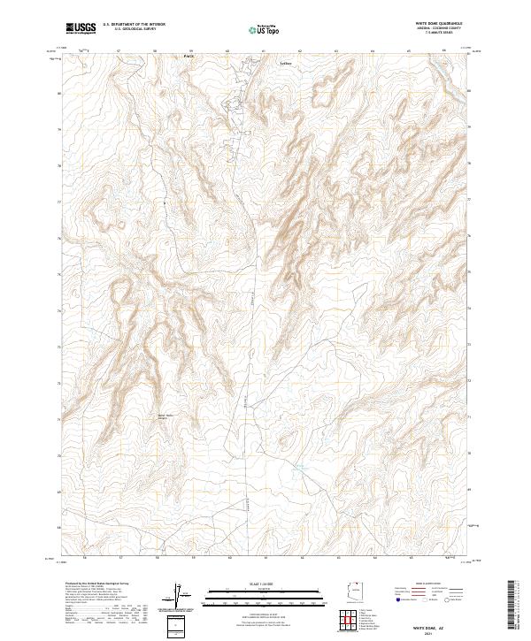
2021 Map of White Dome
USGS Topo · Published 2021About this map
The high plateau of Coconino County is defined here by the sharp relief of Water Holes Canyon as it carves through the sandstone landscape south of the Colorado River corridor. The community of LeChee serves as a primary hub of activity on the Navajo Nation, situated just south of the developing city of Page. This 2021 survey illustrates the modern road network centered around Indian Rte 20, which bisects the quadrangle while providing access to local water sources such as White Dome Tank. To the northeast, the upper reaches of Antelope Creek are visible, marking the intricate drainage patterns that characterize this desert environment. The map provides a contemporary record of land use and tribal boundaries in this portion of northern Arizona during a period of sustained regional growth.
Find a feature on this map
10 named features on this map. Tap any name to fly to it.
Don’t see what you’re looking for? This feature index may not catch every label — zoom into the map to look around manually.
Map Details
Editions of this 2021 White Dome Map
This is the sole edition of this map. No revisions or reprints were ever made.
Other maps of this area

1886 · Echo Cliffs
USGS Topo · 1:250,000

1891 · Echo Cliffs
USGS Topo · 1:250,000

1951 · Lees Ferry NE
USGS Topo · 1:24,000

1954 · Lees Ferry SE
USGS Topo · 1:24,000

1954 · Tanner Wash
USGS Topo · 1:62,500

1954 · Leche-E Rock
USGS Topo · 1:62,500

1954 · Lees Ferry
USGS Topo · 1:62,500

1955 · Tanner Wash NE
USGS Topo · 1:24,000

1956 · Marble Canyon
USGS Topo · 1:250,000

1959 · Marble Canyon
USGS Topo · 1:250,000