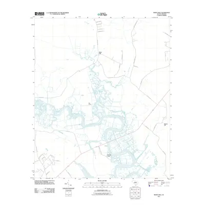
2011 Map of White Hall
USGS Topo · Published 2011About this map
The meandering Combahee River defines the Lowcountry landscape of this 2011 survey, weaving through a network of wetlands and tidal creeks near the settlements of White Hall and Old Fort. The geographic layout reflects a deep-rooted plantation economy, with Nemours Plantation Rd leading toward the riverbanks and the nearby Snipe Bog Pond Dam D-2935 indicating localized water management.
Find a feature on this map
33 named features on this map. Tap any name to fly to it.
Don’t see what you’re looking for? This feature index may not catch every label — zoom into the map to look around manually.
Map Details
Editions of this 2011 White Hall Map
This is the sole edition of this map. No revisions or reprints were ever made.
Other maps of this area

1918 · Walterboro
USGS Topo · 1:62,500

1918 · Green Pond
USGS Topo · 1:62,500

1918 · Yemassee
USGS Topo · 1:62,500

1919 · Cummings
USGS Topo · 1:62,500

1943 · Yemassee
USGS Topo · 1:62,500

1943 · Green Pond
USGS Topo · 1:62,500

1943 · Cummings
USGS Topo · 1:62,500

1943 · Walterboro
USGS Topo · 1:62,500

1947 · Savannah
USGS Topo · 1:250,000

1948 · Savannah
USGS Topo · 1:250,000