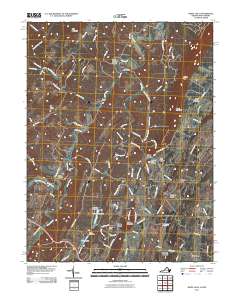
2011 Map of White Hall
USGS Topo · Published 2011About this map
Apple Pie Ridge and North Mountain define the prominent north-south alignment of this Frederick County landscape. The settlement of White Hall sits at the base of the ridge, while small hamlets and residential clusters like Grimes, Cedar Grove, and De Haven are scattered along the local road network. The drainage pattern is complex, with Babbs Run, Green Spring Run, and Cattail Run moving water through the valleys between the ridges.
Find a feature on this map
87 named features on this map. Tap any name to fly to it.
Don’t see what you’re looking for? This feature index may not catch every label — zoom into the map to look around manually.
Map Details
Editions of this 2011 White Hall Map
This is the sole edition of this map. No revisions or reprints were ever made.
Other maps of this area

1894 · Winchester
USGS Topo · 1:125,000

1914 · Gerrardstown
USGS Topo · 1:48,000

1916 · Gerrardstown
USGS Topo · 1:62,500

1916 · Capon Bridge
USGS Topo · 1:62,500

1923 · Middletown
USGS Topo · 1:62,500

1923 · Capon Bridge
USGS Topo · 1:62,500

1937 · Capon Bridge
USGS Topo · 1:48,000

1937 · Gerrardstown
USGS Topo · 1:48,000

1937 · Middletown
USGS Topo · 1:48,000

1938 · Winchester
USGS Topo · 1:48,000