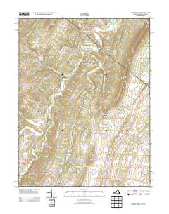
2013 Map of White Hall
USGS Topo · Published 2013About this map
Apple Pie Ridge and North Mountain define the topography of this Frederick County landscape, where small crossroads communities and rural homesteads cluster along historic watercourses. The area around White Hall and Grimes is characterized by a network of runs and creeks, including Babbs Run, Cattail Run, and Hogue Cr, which supported early settlement patterns. This survey shows the transition from traditional agriculture to contemporary residential development, evident in established neighborhoods like the Sir John Addition near Welltown.
Find a feature on this map
141 named features on this map. Tap any name to fly to it.
Don’t see what you’re looking for? This feature index may not catch every label — zoom into the map to look around manually.
Map Details
Editions of this 2013 White Hall Map
This is the sole edition of this map. No revisions or reprints were ever made.
Other maps of this area

1894 · Winchester
USGS Topo · 1:125,000

1914 · Gerrardstown
USGS Topo · 1:48,000

1916 · Gerrardstown
USGS Topo · 1:62,500

1916 · Capon Bridge
USGS Topo · 1:62,500

1923 · Middletown
USGS Topo · 1:62,500

1923 · Capon Bridge
USGS Topo · 1:62,500

1937 · Capon Bridge
USGS Topo · 1:48,000

1937 · Gerrardstown
USGS Topo · 1:48,000

1937 · Middletown
USGS Topo · 1:48,000

1938 · Winchester
USGS Topo · 1:48,000