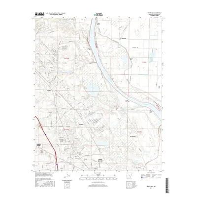
2017 Map of White Hall
USGS Topo · Published 2017About this map
Arkansas River navigation and the floodplain landscape dominate this Jefferson County survey, tracing the winding water through Pastoria Bend and the Hensley Bar Cutoff. This area north of Pine Bluff showcases a transition from the urban density of White Hall and residential developments like Oakland Heights and Henslee Heights to the vast wetlands and bayous of the river valley. The map is particularly useful for local historians, identifying numerous small family and community burial grounds such as Cheek Cem, McFadden Cem, and Musgrove Cem scattered across the rural acreage. Notable hydrological features including Caney Bayou, Smiths Bayou, and Eastman Bayou define the drainage patterns of the region, while the Hickory Ridge Airport and a complex network of numbered roads like Ave 6269 illustrate the modern transportation infrastructure overlaying the older river-based economy.
Find a feature on this map
162 named features on this map. Tap any name to fly to it.
Don’t see what you’re looking for? This feature index may not catch every label — zoom into the map to look around manually.
Map Details
Editions of this 2017 White Hall Map
This is the sole edition of this map. No revisions or reprints were ever made.
Other maps of this area

1932 · Pastoria
USGS Topo · 1:62,500

1935 · Altheimer
USGS Topo · 1:62,500

1935 · Pastoria
USGS Topo · 1:62,500

1935 · Noble Lake
USGS Topo · 1:62,500

1948 · Helena
USGS Topo · 1:250,000

1950 · Helena
USGS Topo · 1:250,000

1955 · Helena
USGS Topo · 1:250,000

1955 · Little Rock
USGS Topo · 1:250,000

1956 · Little Rock
USGS Topo · 1:250,000

1959 · Helena
USGS Topo · 1:250,000