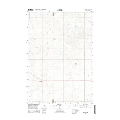
2015 Map of White Hill
USGS Topo · Published 2015About this map
The Henry Bingaman Cem sits at the junction of the Harding Co Perkins Co line, serving as a quiet landmark in this section of the Great Plains. This 2015 topography is defined by the winding course of White Hill Cr as it flows through the high prairie, eventually reaching the White Hill Dam. The namesake White Hill rises above the surrounding terrain, providing a natural focal point for the land divisions of t19n r9e and t19n r10e. Modern section roads like 155th Ave and White Hill Rd track the cardinal directions across the county border, tracing a landscape shaped by sparse ranching infrastructure and seasonal water sources.
Find a feature on this map
12 named features on this map. Tap any name to fly to it.
Don’t see what you’re looking for? This feature index may not catch every label — zoom into the map to look around manually.
Map Details
Editions of this 2015 White Hill Map
This is the sole edition of this map. No revisions or reprints were ever made.
Other maps of this area

1935 · Reva
USGS Topo · 1:125,000

1935 · Hoover
USGS Topo · 1:125,000

1954 · Lemmon
USGS Topo · 1:250,000

1957 · Lemmon
USGS Topo · 1:250,000

1968 · Reva
USGS Topo · 1:24,000

1968 · Flat Top Butte
USGS Topo · 1:24,000

1969 · Reva NE
USGS Topo · 1:24,000

1980 · Redig
USGS Topo · 1:100,000

1980 · Camp Crook
USGS Topo · 1:100,000

1983 · Prairie City NE
USGS Topo · 1:24,000