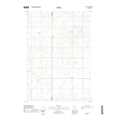
2017 Map of White Hill
USGS Topo · Published 2017About this map
Henry Bingaman Cem lies at the heart of this landscape along the boundary shared by Harding and Perkins counties. This 2017 survey documents a sparsely populated corner of northwestern South Dakota where the terrain is shaped by the intermittent flow of White Hill Cr and the presence of the White Hill Dam. The area is characterized by vast sections of open range, with the namesake White Hill standing as a primary landmark in the eastern portion of the quadrangle.
Find a feature on this map
14 named features on this map. Tap any name to fly to it.
Don’t see what you’re looking for? This feature index may not catch every label — zoom into the map to look around manually.
Map Details
Editions of this 2017 White Hill Map
This is the sole edition of this map. No revisions or reprints were ever made.
Other maps of this area

1935 · Reva
USGS Topo · 1:125,000

1935 · Hoover
USGS Topo · 1:125,000

1954 · Lemmon
USGS Topo · 1:250,000

1957 · Lemmon
USGS Topo · 1:250,000

1968 · Reva
USGS Topo · 1:24,000

1968 · Flat Top Butte
USGS Topo · 1:24,000

1969 · Reva NE
USGS Topo · 1:24,000

1980 · Redig
USGS Topo · 1:100,000

1980 · Camp Crook
USGS Topo · 1:100,000

1983 · Prairie City NE
USGS Topo · 1:24,000