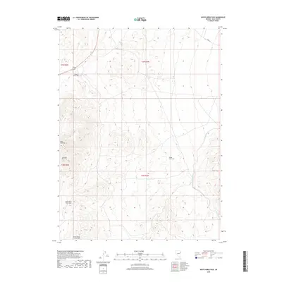
2018 Map of White Horse Pass
USGS Topo · Published 2018About this map
White Horse Pass and the high ridges of the Goshute Mountains dominate this high-desert landscape in northeastern Nevada. As of 2018, the area remains a critical transit point where Alt 93 winds through the terrain, connecting travelers through the gap between Sugar Loaf Peak and the southern elevations. The survey illustrates a topography of extremes, from the steep slopes of the Little White Horse Hills to the broad expanse of White Horse Flat. To the east, the drainage of Ferber Wash cuts through the Ferber Hills, providing a clear view of the natural corridors used for movement across Elko County. This map is particularly useful for understanding the modern footprint of these natural landmarks and the primary roads, such as Ibapah Rd, that navigate the interior of the Great Basin.
Find a feature on this map
14 named features on this map. Tap any name to fly to it.
Don’t see what you’re looking for? This feature index may not catch every label — zoom into the map to look around manually.
Map Details
Editions of this 2018 White Horse Pass Map
This is the sole edition of this map. No revisions or reprints were ever made.
Other maps of this area

1955 · Elko
USGS Topo · 1:250,000

1958 · Elko
USGS Topo · 1:250,000

1962 · Elko
USGS Topo · 1:250,000

1965 · Elko
USGS Topo · 1:250,000

1972 · Ferguson Flat
USGS Topo · 1:24,000

1972 · White Horse Pass
USGS Topo · 1:24,000

1972 · Utah Peak
USGS Topo · 1:24,000

1972 · Ferguson Mtn.
USGS Topo · 1:24,000
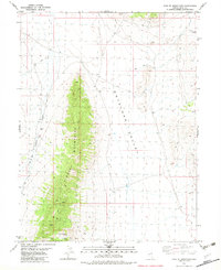
1982 · Kinsley Mountains
USGS Topo · 1:24,000
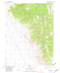
1982 · Goshute Peak
USGS Topo · 1:24,000