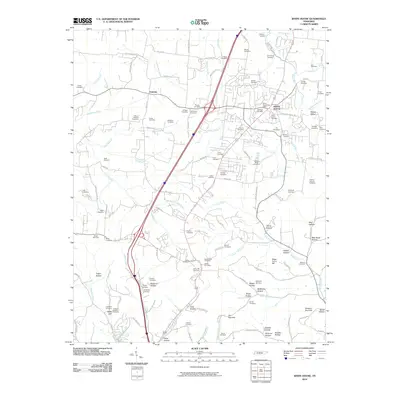
2010 Map of White House
USGS Topo · Published 2010About this map
White House serves as a primary hub of settlement in this northern Tennessee landscape, where the White House Post Office sits amid a network of family-named landmarks and rural burial grounds. The terrain is defined by a complex drainage system, including the Sulphur Fork Red River and Drakes Creek, which carve out numerous distinct landforms such as The Narrows and Sugar Camp Hill. Genealogists will find a wealth of specific sites including the Jernigan Cemetery, Strickland Cemetery, and Latimer-Johnson Cemetery, reflecting generations of local residency.
Find a feature on this map
135 named features on this map. Tap any name to fly to it.
Don’t see what you’re looking for? This feature index may not catch every label — zoom into the map to look around manually.
Map Details
Editions of this 2010 White House Map
This is the sole edition of this map. No revisions or reprints were ever made.
Other maps of this area

1903 · Nashville
USGS Topo · 1:125,000

1931 · Ridgetop
USGS Topo · 1:62,500

1935 · Ridgetop
USGS Topo · 1:62,500

1942 · Gallatin
USGS Topo · 1:100,000

1952 · Goodlettsville
USGS Topo · 1:24,000

1952 · Youngville
USGS Topo · 1:24,000

1952 · Hendersonville
USGS Topo · 1:24,000

1953 · Cottontown
USGS Topo · 1:24,000

1953 · Orlinda
USGS Topo · 1:24,000
1954 · White House
USGS Topo · 1:24,000