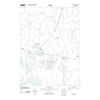
2010 Map of White Lake
USGS Topo · Published 2010About this map
White Lake and the nearby community of Smallwood anchor this part of Sullivan County, a landscape defined by an intricate network of glacial lakes and reservoirs. The area's character is a blend of seasonal recreation and established rural hamlets, evidenced by the cluster of lakeside settlements like Kauneonga Lake and the uniquely specialized Firemans White Lake Seaplane Base. Transportation is central to the area's development, ranging from the Sullivan County International Airport to numerous winding local roads named for early families, such as Hurd and Parks Rd and Soule Rd. For the genealogist, the map preserves several burial sites including the Temple Beth El Cemetery and Bethel Evergreen Cemetery in Bethel, alongside smaller family plots like the Lyon Cemetery and Van Keuren Cemetery that speak to the region's agricultural past.
Find a feature on this map
105 named features on this map. Tap any name to fly to it.
Don’t see what you’re looking for? This feature index may not catch every label — zoom into the map to look around manually.
Map Details
Editions of this 2010 White Lake Map
This is the sole edition of this map. No revisions or reprints were ever made.
Other maps of this area

1909 · Monticello
USGS Topo · 1:62,500

1910 · Neversink
USGS Topo · 1:62,500

1911 · Monticello
USGS Topo · 1:62,500

1921 · Livingston Manor
USGS Topo · 1:62,500

1922 · White Lake
USGS Topo · 1:62,500

1923 · Livingston Manor
USGS Topo · 1:62,500

1942 · White Lake
USGS Topo · 1:62,500

1942 · Neversink
USGS Topo · 1:62,500

1943 · White Lake
USGS Topo · 1:62,500

1943 · Monticello
USGS Topo · 1:62,500