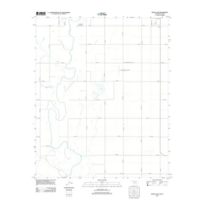
2012 Map of White Lake
USGS Topo · Published 2012About this map
The N Fork Red River meanders across this landscape, defining the riparian boundary near the Oklahoma-Texas border. This 2012 survey illustrates a section of Tillman County dominated by a regular grid of section-line roads, such as E1760 Rd and N2120 Rd, which facilitate the region's agricultural movement. The namesake White Lake sits centrally, appearing as an ephemeral water body surrounded by these rural routes. In the northeastern portion of the quadrangle, the outskirts of Tipton are visible, marked by the intersection of S Broadway Ave and E Ada Ave. This area is further defined by the Tipton Municipal Airport, with its dedicated Tipton Municipal Airport Rd connecting the facility to the broader road network. The map provides a clear view of the transition from the river's natural course to the engineered precision of the surrounding plains.
Find a feature on this map
27 named features on this map. Tap any name to fly to it.
Don’t see what you’re looking for? This feature index may not catch every label — zoom into the map to look around manually.
Map Details
Editions of this 2012 White Lake Map
This is the sole edition of this map. No revisions or reprints were ever made.
Other maps of this area

1955 · Lawton
USGS Topo · 1:250,000

1958 · Frederick
USGS Topo · 1:62,500

1958 · Elmer
USGS Topo · 1:62,500

1963 · Altus SE
USGS Topo · 1:24,000

1964 · Tipton SE
USGS Topo · 1:24,000

1964 · Tipton
USGS Topo · 1:24,000

1975 · Elmore City NE
USGS Topo · 1:24,000

1975 · Frederick NE
USGS Topo · 1:24,000

1975 · Frederick SW
USGS Topo · 1:24,000

1975 · Frederick NW
USGS Topo · 1:24,000