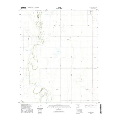
2016 Map of White Lake
USGS Topo · Published 2016About this map
The North Fork Red River carves a winding path along the boundary of Tillman Co and Jackson Co in southwestern Oklahoma. This 2016 survey highlights the agrarian layout of the region, where a precise grid of county roads, such as Co Rd EW 181 and N 2150 Rd, connects scattered farmsteads and rural properties. The landscape is defined by the river’s broad, shifting floodplains and the presence of White Lake, a notable water feature east of the riverbanks. The town of Tipton occupies the northeastern corner of the map, served by the Tipton Municipal Airport and a network of local thoroughfares including E Ada Ave. The map reflects the enduring intersection of natural watercourses and the section-line road system that organizes the modern Oklahoma plains.
Find a feature on this map
31 named features on this map. Tap any name to fly to it.
Don’t see what you’re looking for? This feature index may not catch every label — zoom into the map to look around manually.
Map Details
Editions of this 2016 White Lake Map
This is the sole edition of this map. No revisions or reprints were ever made.
Other maps of this area

1955 · Lawton
USGS Topo · 1:250,000

1958 · Frederick
USGS Topo · 1:62,500

1958 · Elmer
USGS Topo · 1:62,500

1963 · Altus SE
USGS Topo · 1:24,000

1964 · Tipton SE
USGS Topo · 1:24,000

1964 · Tipton
USGS Topo · 1:24,000

1975 · Elmore City NE
USGS Topo · 1:24,000

1975 · Frederick NE
USGS Topo · 1:24,000

1975 · Frederick SW
USGS Topo · 1:24,000

1975 · Frederick NW
USGS Topo · 1:24,000