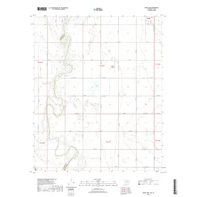
2018 Map of White Lake
USGS Topo · Published 2018About this map
The North Fork Red River snakes through the landscape of the Oklahoma-Texas borderlands, carving a wide, braided path that separates Jackson and Tillman counties. This 2018 survey documents a region defined by its agricultural grid and the shifting hydrology of the river basin. The town of Tipton occupies the northeastern corner of the map, centered around E Ada Ave and Se 5th St, while the Tipton Municipal Airport sits just south of the main settlement. Further south, the namesake White Lake appears as a distinct water body amidst the section lines, highlighting the contrast between the managed road network, such as E1760 Rd and N2120 Rd, and the natural, winding course of the river channel.
Find a feature on this map
36 named features on this map. Tap any name to fly to it.
Don’t see what you’re looking for? This feature index may not catch every label — zoom into the map to look around manually.
Map Details
Editions of this 2018 White Lake Map
This is the sole edition of this map. No revisions or reprints were ever made.
Other maps of this area

1955 · Lawton
USGS Topo · 1:250,000

1958 · Frederick
USGS Topo · 1:62,500

1958 · Elmer
USGS Topo · 1:62,500

1963 · Altus SE
USGS Topo · 1:24,000

1964 · Tipton SE
USGS Topo · 1:24,000

1964 · Tipton
USGS Topo · 1:24,000

1975 · Elmore City NE
USGS Topo · 1:24,000

1975 · Frederick NE
USGS Topo · 1:24,000

1975 · Frederick SW
USGS Topo · 1:24,000

1975 · Frederick NW
USGS Topo · 1:24,000