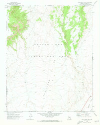
1970 Map of White Mesa Arch
USGS Topo · Published 1973About this map
White Mesa dominates the northwestern corner of this Coconino County landscape, where the natural formation of White Mesa Arch stands as a focal landmark amidst the high desert terrain. This 1970s survey captures a unique period of administrative history within the Navajo - Hopi Joint Use Area, showing a land governed by shared tribal boundaries and traditional use. The topography is defined by the broad Red Lake Valley and the rising slopes of the Shonto Plateau to the east.
Find a feature on this map
13 named features on this map. Tap any name to fly to it.
Don’t see what you’re looking for? This feature index may not catch every label — zoom into the map to look around manually.
Map Details
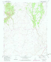
Editions of this 1970 White Mesa Arch Map
2 editions found
Other maps of this area

1883 · Marsh Pass
USGS Topo · 1:250,000

1886 · Echo Cliffs
USGS Topo · 1:250,000

1891 · Echo Cliffs
USGS Topo · 1:250,000

1892 · Marsh Pass
USGS Topo · 1:250,000

1956 · Marble Canyon
USGS Topo · 1:250,000

1959 · Marble Canyon
USGS Topo · 1:250,000

1961 · Marble Canyon
USGS Topo · 1:250,000

1970 · Cow Springs
USGS Topo · 1:24,000

1970 · Square Butte
USGS Topo · 1:24,000

1970 · Whirlwind Rock
USGS Topo · 1:24,000