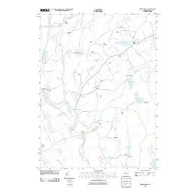
2010 Map of White Mills
USGS Topo · Published 2010About this map
The Lackawaxen River corridor defines this portion of Pike County, where the industrial history of White Mills and Indian Orchard meets the recreational landscapes of the early 21st century. This survey documents a complex network of water management, featuring numerous named dams such as the Pa-420 Dam and Freethy Dam that regulate local reservoirs and ponds. These water bodies, including Beach Lake and Bucks Cove Lake, are central to the area's character, supporting summer camps like Camp Moshava and Camp Navajo. The map also traces the transition from historic settlement patterns to modern infrastructure, showing the Cherry Ridge Airport and Cricket Hill Golf Course alongside traditional sites like the Vine Hill Cemetery. The interplay of steep terrain, such as Smith Hill, and the winding river valley illustrates the enduring geographic constraints on development in the region.
Find a feature on this map
100 named features on this map. Tap any name to fly to it.
Don’t see what you’re looking for? This feature index may not catch every label — zoom into the map to look around manually.
Map Details
Editions of this 2010 White Mills Map
This is the sole edition of this map. No revisions or reprints were ever made.
Other maps of this area

1892 · Honesdale
USGS Topo · 1:62,500

1920 · Damascus
USGS Topo · 1:62,500

1923 · Damascus
USGS Topo · 1:62,500

1928 · Ariel
USGS Topo · 1:62,500

1932 · Ariel
USGS Topo · 1:62,500

1935 · Hawley
USGS Topo · 1:62,500

1938 · Hawley
USGS Topo · 1:62,500

1943 · Honesdale
USGS Topo · 1:125,000

1944 · Damascus
USGS Topo · 1:62,500

1946 · Honesdale
USGS Topo · 1:24,000
Featured Places
- Lackawaxen Township, PA
- Honesdale, PA
- Damascus Township, PA
- Cherry Ridge Township, PA
- Dyberry Township, PA